
Bring on the conspiracy theories: Were the ripples in these Martian dunes created by wind, water, or a highbrow alien aesthete? Either way, these photos from NASA’s High Resolution Imaging Science Experiment (HiRISE) camera prove that space photos don’t have to just be evaluated on their technical and scientific value. They can also be beautiful.The HiRISE camera is mounted on the Mars Reconnaissance Orbiter (MRO), which took the lead snap inside an impact crater in the Noachis Terra region of southern Mars. As lovely as they are, the erosion patterns evidenced by the dunes help NASA scientists develop the sedimentary history of the region. The enhanced-color lead image clearly shows the wind-caused (sorry tin-hat folks) dunes with insane clarity: It covers an area about an entire kilometer across.What’s really cool is that these images are somewhat of a bonus. The MRO has been ogling Mars with a sextet of instruments since 2006. It’s now in an extended mission, meaning that it performed well enough to keep an eye on Mars beyond what it was expected to do. It’s focused on studying Mars’ ancient environments as well as how environmental factors — like wind, meteorite impacts and seasonal frosts — are affecting the planet’s current environment and geology. The MRO mission overall has returned more data about Mars than all other orbital and surface missions combined. As much as I’d love to share every HiRISE image available, it’s simply not possible: The online HiRISE database holds more than 20,600 images, and all of them are massive. The camera is operated by the University of Arizona, Tucson, and according to NASA, “each observation by this telescopic camera covers several square miles, or square kilometers, and can reveal features as small as a desk.” Swing by their site and give them a gander, it’s worth it.
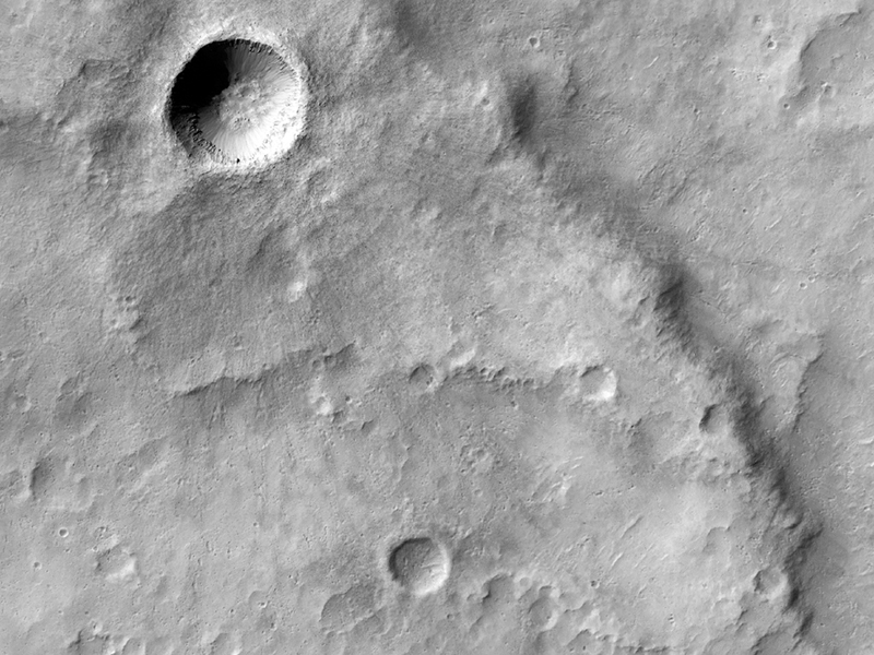
Advertisement
This photo shows a fan-shaped deposit that starts where the channel enters a crater. Does it look familiar? It’s suggestive of a delta, which would only be caused by a flowing river.
The types of impacts that produce craters also produce “ejecta,” or material that was blasted out of the crater during the impact. According to HiRISE scientists, this “double layer ejecta” crater formed near the edge of a pre-existing crater. In essence, the HiRISE camera has enough resolution for researchers to both identify that the scattered ejecta around this crater came in two phases, and study how that material moves around.